
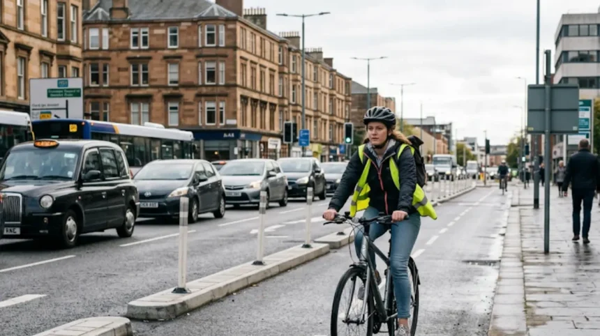
Cycling in Glasgow city is generally safe when riders use dedicated infrastructure, follow traffic laws, and match their route choice to their skill level. Accident rates in Glasgow have fallen overall, but cyclist hospital admissions have risen slightly in recent years, and many collisions still involve cars. Segregated cycle routes and a council target of 270 km of protected cycle infrastructure by 2030 are improving safety on key corridors.
- How Safe Is Cycling in Glasgow Compared to the Past?
- What Types of Cycling Infrastructure Exist in Glasgow?
- Are Glasgow’s Roads Too Dangerous for Everyday Cyclists?
- How Do Cyclist Casualties and Hospital Admissions Compare to Other Road Users?
- Which Routes and Areas in Glasgow Are Considered Safer for Cycling?
- Where Are the Known Cycling Accident Hotspots in Glasgow?
- What Legal Rules and Safety Best Practices Do Cyclists Need to Follow in Glasgow?
- How Is Glasgow Expanding Its Segregated Cycle Network by 2030?
- What Does the Evidence Say About Whether Glasgow’s Roads Are Too Dangerous for Cycling?
How Safe Is Cycling in Glasgow Compared to the Past?
Cycling in Glasgow has become safer overall, with road casualty rates down about 57% since 1997–2001, but cyclist hospital admissions have risen slightly in recent years. Police data show a large drop in casualties for all road users, while cyclists’ hospitalisation rates now sit just above pedestrians’. This reflects both more people cycling and still-high exposure to car traffic on many routes.
Glasgow’s Road Safety Plan 2020–2030 explicitly treats cycling as a priority, aiming to reduce serious injuries and fatalities while expanding active travel. The plan aligns with national targets under Scotland’s “Cycling, Walking and Safer Routes” strategy, which emphasises segregated infrastructure and lower speeds near schools and residential areas. Over this period, child cyclist hospital admissions peaked around 2004–2008, then declined and have stayed below child pedestrian rates since 2011–2015.
For adult cyclists, casualty rates rose slightly until 2014–2018, then fell a little in the most recent period. The rise in hospital admissions for cyclists despite falling overall casualty rates suggests that either more cyclists are riding, or that the injuries that do occur are more serious on certain routes. Both trends are consistent with increased cycling volumes and ongoing exposure to mixed traffic on core routes that lack full segregation.
What Types of Cycling Infrastructure Exist in Glasgow?
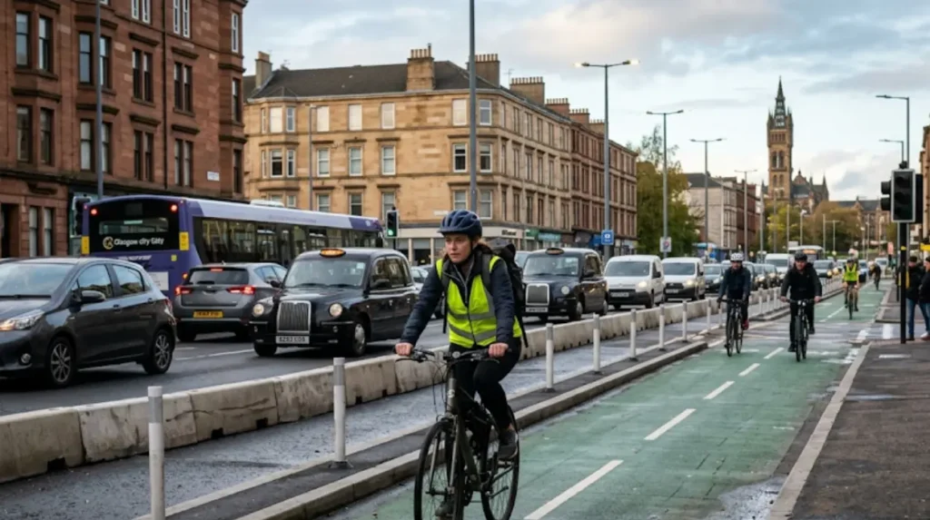
Glasgow has 293.3 km of dedicated cycle routes, including bus-and-cycle lanes, painted lanes, shared footways, and physically separated tracks, with 204.4 km segregated from vehicles. The 2018 Bike Life Glasgow report, produced by Sustrans and Glasgow City Council, breaks this network into five main types:
- Bus and cycle lanes: 39.7 km
- On-road painted cycle lanes: 49.2 km
- Shared-use footways: 151.2 km
- Cycle tracks within the highway, physically separated from traffic and pedestrians: 7.5 km
- Traffic-free cycle routes away from the highway: 45.7 km
Routes segregated from vehicles combine the three categories above to total 204.4 km. Shared-use footways are the largest component and are marked by blue roundels showing a cyclist and pedestrian side by side. These are legally designated as “shared surfaces” and allow cycling where pedestrians are also present.
Physically separated cycle tracks and traffic-free routes provide the highest level of protection, removing cyclists from moving traffic entirely. On-road painted lanes and bus-and-cycle lanes offer some separation but still place cyclists in close proximity to vehicles, particularly at junctions and when cars overtake. The council’s web-mapping application for cycling facilities shows where each type exists and helps riders plan safer journeys.
Are Glasgow’s Roads Too Dangerous for Everyday Cyclists?
Many everyday routes in central Glasgow still mix cyclists with cars, which creates danger, but a growing network of segregated routes is reducing risk on key corridors. The majority of cycling casualties in Scotland involve a collision with a car—about 84%—and one in ten cycling casualties are hit-and-run incidents. In Glasgow, hotspot maps from 2005–2014 show clusters of bicycle crashes along major arterial roads and busy junctions.
Everyday commuting routes such as Argyle Street, Sauchiehall Street, Byres Road, and the Broomielaw have historically been high-exposure corridors. Recent and planned projects in 2024–2025 aim to upgrade these with protected cycle lanes, junction redesigns, and signal phases for cyclists. Examples include:
- A 3 km segregated cycle route from Victoria Bridge to Trongate via Bridgegate and King Street, expected to complete by April 2024.
- Protected cycle lanes on Byres Road from Partick Cross to University Avenue, with work to finish by August 2024.
- Cycle segregation upgrades on the Broomielaw and George V Bridge, with cycle-only signal phases at key junctions.
These measures directly address the main danger: conflict points between cyclists and motor vehicles at junctions and when cars overtake. On routes that still rely on painted lanes or mixed traffic, risk remains higher, particularly for less experienced riders.
How Do Cyclist Casualties and Hospital Admissions Compare to Other Road Users?
Cyclist hospital admission rates in Glasgow have increased slightly in recent years and now sit just above pedestrian rates, even while overall road casualties have fallen. Police data show adult pedestrian casualty rates decreasing between 1997–2001 and 2015–2019, while adult cyclist casualty rates rose slightly until 2014–2018, then decreased a little. Hospital admission data, which cover only more serious injuries, show a similar pattern: cyclist admissions have risen in recent years and now exceed pedestrian admissions.
For children aged 5–15, pedestrian hospital admission rates fell sharply from 1997–2001 to 2012–2016 and have remained stable. Child cyclist hospitalisation rates fell until 2004–2008, rose again, then declined and have stayed below child pedestrian rates since 2011–2015. This suggests that child cycling may be occurring on safer routes or that exposure has changed over time.
National research indicates that 84% of cycling casualties involve a collision with a car, and pedestrian injuries caused by a collision with a cyclist are rare. In Glasgow, this pattern means that most risk to cyclists comes from motor vehicles, not from conflicts with pedestrians. The rise in cyclist hospital admissions despite falling overall casualties suggests that collisions on high-speed or high-exposure routes may be producing more serious injuries.
Which Routes and Areas in Glasgow Are Considered Safer for Cycling?
Routes that use segregated cycle tracks, traffic-free paths, or shared-use core paths are safer than on-road painted lanes or mixed-traffic streets. The council’s 2018 Bike Life data show that 204.4 km of Glasgow’s 293.3 km cycle network is already segregated from vehicles. These include:
- Cycle tracks within the highway, physically separated from traffic and pedestrians (7.5 km)
- Traffic-free cycle routes away from the highway (45.7 km)
- High-quality shared-use footways and core paths (151.2 km)
Examples of safer everyday routes include:
- The South City Way corridor, which links Victoria Road/Queen’s Park and extends toward Langside Road, with ongoing extensions to create a longer segregated route.
- Shared-use paths along the Union Canal and along sections of the Clyde Walkway, which provide traffic-free or low-speed routes for commuting and recreation.
- Core paths in parks such as Glasgow Green, Kelvingrove Park, and Queen’s Park, which are traffic-free and suitable for less experienced cyclists.
Riders who avoid busy junctions and high-speed arterial roads, and who instead use these segregated or traffic-free routes, face significantly lower risk. The council’s cycling map shows where these routes exist and helps users plan journeys that avoid known hotspots.
Where Are the Known Cycling Accident Hotspots in Glasgow?
Historical crash data from 2005–2014 identify clusters of bicycle crashes along major arterial roads and busy junctions in central and eastern Glasgow. An analysis of 922 reported bicycle crashes in Glasgow between 2005 and 2014 shows that hotspots tend to align with high-traffic routes, complex junctions, and areas with limited segregated infrastructure. These areas typically include:
- Approaches to major roundabouts and multi-lane junctions
- Sections of arterial roads where painted cycle lanes end or are interrupted
- Roads with high bus and heavy vehicle volumes
Specific named hotspots highlight areas such as Auldhouse Roundabout and other high-exposure junctions where collisions between cyclists and cars occur repeatedly. These locations often lack full segregation or dedicated signal phases for cyclists, increasing the chance of conflict.
Recent projects aim to reduce risk at these hotspots through redesign. For example, the Connecting Battlefield project extends the South City Way and improves public realm around Battlefield Rest, while other schemes redesign junctions on Sauchiehall Street, Argyle Street, and around the Broomielaw to give cyclists separate phases and protected lanes. Over time, these changes are expected to lower crash rates in previously problematic areas.
What Legal Rules and Safety Best Practices Do Cyclists Need to Follow in Glasgow?
Cyclists in Glasgow must follow the Highway Code, obey traffic lights, and only cycle on footways where they are legally designated as shared surfaces. Glasgow City Council’s cycling safety guidance states that traffic lights apply to cyclists, with amber meaning stop unless it is unsafe to do so, and red meaning stop. Cycling on the pavement is prohibited unless it is a designated shared surface or core path, marked by blue roundels showing a cyclist and pedestrian.
Key safety practices include:
- Riding positively and staying clear of the kerb to avoid debris and punctures.
- Being aware of other road users, especially large vehicles such as vans and trucks, whose drivers may have limited visibility.
- Checking all around before turning, using a clear signal, and moving gradually into position while maintaining control of the bike.
- Using bright or reflective clothing and lights in night and bad weather to improve visibility.
The “Responsible Cycling” guidance from Glasgow City Council adds that cyclists must be considerate, safe, and visible, give way to pedestrians on shared surfaces, and pass with care when overtaking. Police Scotland can be contacted for reports of unlawful or dangerous behaviour by any road user, including cyclists.
Explore More uk/area-guide/">Area Guide
Comparing Glasgow Nightlife: Finnieston Independent Bars Versus Busy City Centre Clubs
The Ultimate Guide to the Best Craft Beer Bars in Glasgow Southside
How Is Glasgow Expanding Its Segregated Cycle Network by 2030?
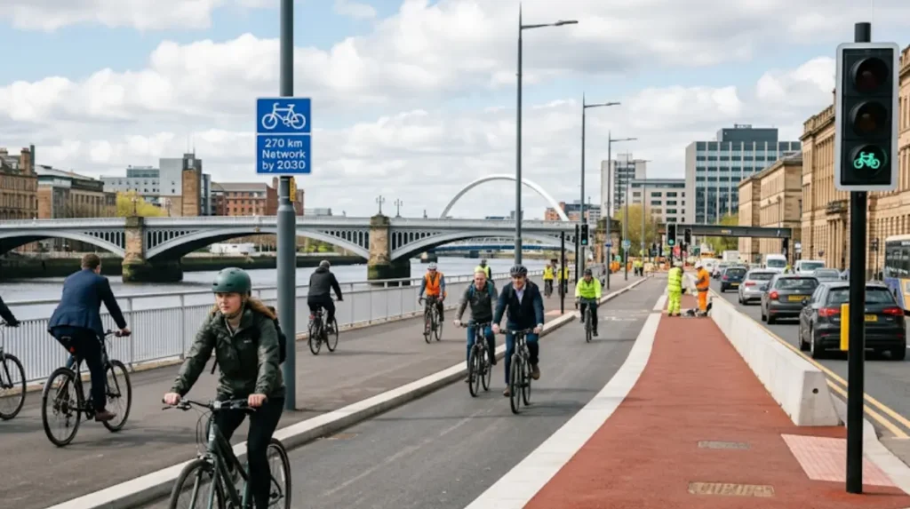
Glasgow aims to deliver a network of 270 km of segregated cycle infrastructure by 2030, with multiple projects starting or completing in 2024. Council officials state that 12 active travel projects will start or finish in 2024, making more places accessible via safer, segregated infrastructure. These include:
- Connecting Battlefield: extending the South City Way from Victoria Road/Queen’s Park toward Langside Road/Queen’s Park Street, with a possible second phase to Cathcart Road.
- A 3 km segregated route from Victoria Bridge to Trongate via Bridgegate and King Street, expected to complete by April 2024.
- Connecting Woodside: redesigning St George’s Road and linking Garscube Road routes to Sauchiehall Street via Charing Chross, with a summer 2024 start.
- Byres Road phase one: protected cycle lanes and widened footways from Partick Cross to University Avenue, finishing by August 2024.
- Broomielaw and George V Bridge: upgrading cycle segregation and adding cycle-only signal phases at key junctions.
These projects directly address known safety issues by removing cyclists from mixed traffic on high-exposure routes and reducing conflict at junctions. The 270 km segregated target aligns with national active travel goals and Scotland’s broader push to make cycling a mainstream, safe mode of transport.
What Does the Evidence Say About Whether Glasgow’s Roads Are Too Dangerous for Cycling?
Glasgow’s roads are not inherently too dangerous for cycling, but safety depends strongly on route choice, infrastructure type, and rider behaviour. Overall road casualty rates in Glasgow have fallen by about 57% since 1997–2001, and child cyclist hospitalisation rates are now below child pedestrian rates. However, cyclist hospital admissions have risen slightly in recent years, and most cycling casualties involve collisions with cars.
Where segregated infrastructure exists—such as on the South City Way, parts of Byres Road, and new routes on the Broomielaw and Argyle Street—risk is markedly lower than on routes with painted lanes or mixed traffic. On-road painted lanes and shared-use footways still expose cyclists to conflict at junctions and when cars overtake, which is where many collisions occur.
For everyday cyclists, the evidence supports a clear approach: use segregated routes and traffic-free paths where available, avoid known hotspots and high-speed arterial roads, and follow Highway Code rules and council safety guidance. With ongoing expansion of segregated infrastructure toward the 270 km target by 2030, the overall safety of cycling in Glasgow is expected to improve further, reducing the proportion of dangerous routes and making cycling a safer option for a broader range of people.